This tool's purpose is to aid in generating randomized (with seeds) terrain HeightMap and SplatMap for use on the default Terrain componenet in the S&box editor.
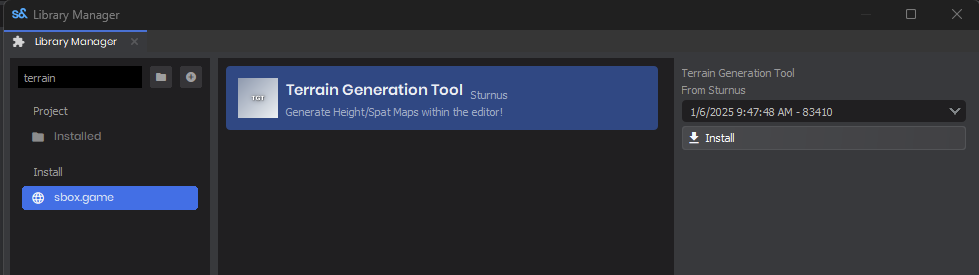
Open the library manager view, and search for the Terrain Generation Tool, select it, and hit install on the latest version.You may need to restart your editor in order to see the new library.
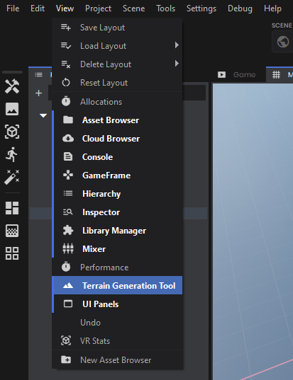
Under "view", click on the "Terrain Generation Tool"Once enabled, you should see the "Terrain Generation Tool" widget popup, you can dock this widget in any location you would like.
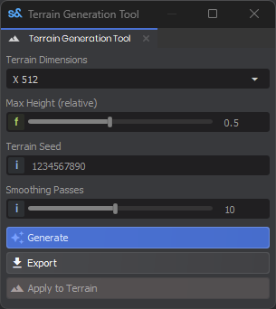
You have (at this moment in time) four sections to aid in generating your HeightMap/SplatMaps.
Terrain Dimensions: Size is 1:1 ratio, so x512 = 512x512, x1024 = 1024x1024, etc.
Max Height: Relative scaling is applied after the map height and min height are applied to the HeightMap.
Terrain Seed: Provides you with an integer input to aid in noise generation for the HeightMap.
Smoothing Passes: helps to smooth the terrain, each pass is compounded to the next pass.
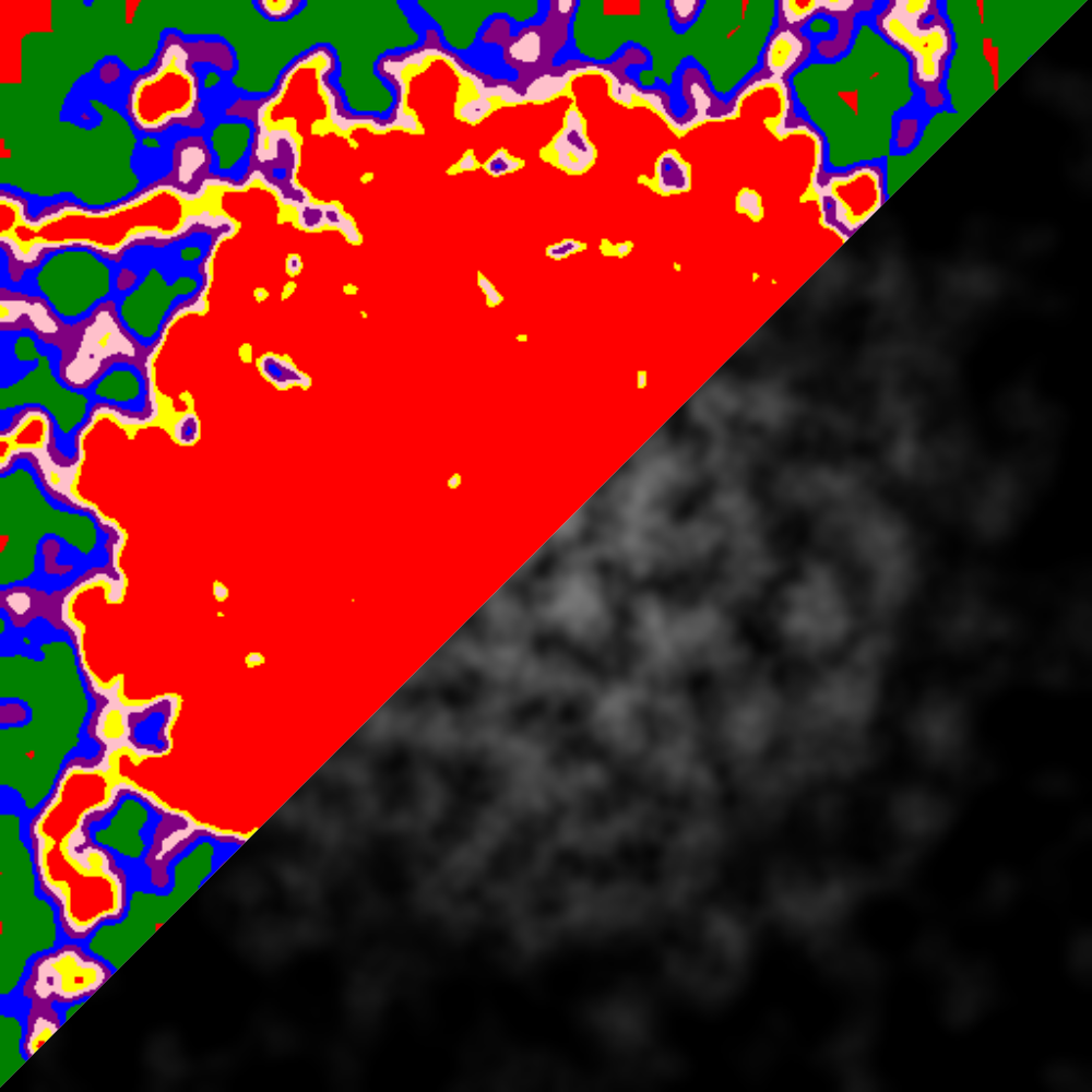
Once you have the desired settings, hit the "Generate" button, this will generate a black/white noise heightmap image, and then use the same heightmap to generate a splatmap with color changes every 0.01 float in height for your terrain textures. If you like the generated images, hit the "Export" button, this will export the RAW data to your projects asset folder, where you can then apply the HeightMap to your terrain component.


 trophy 2100